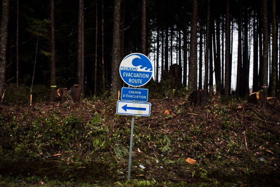
A public push to learn more about seismic events often follows earthquakes and tsunami warnings, says Teron Moore of Ocean Networks Canada.
“Whenever there’s a big earthquake like this one [Tuesday in Alaska], people are really receptive to understanding our own earthquake risk,” he said. “Of course, our biggest earthquake risk as far as coastal B.C. is concerned is our own subduction zone earthquake, off the Cascadia subduction zone.
“That’s where Ocean Networks Canada has this big array of fibre optics and power cables called NEPTUNE.”
ONC was part of the effort to inform communities about Tuesday’s incident, Moore said, but it is used as a data source and does not determine when and if a warning will be sent out.
On Tuesday, ONC’s real-time sensors detected the earthquake and the resulting small tsunami wave that followed.
The wave, which measured only three centimetres, took about 2.5 hours to reach the sensors off Vancouver Island.
NEPTUNE is one of two underwater cable systems, along with VENUS, that ONC operates to do a wide array of research activity, including the study of seismic activity. That includes a system known as WARN, or Web-enabled Awareness Research Network, that uses sensors put at key locations along the shore.
“Instruments, especially for seismic monitoring, are increasing every year,” Moore said. “We put more and more seismic instruments out there, and one of the main reasons for that is this idea that you can detect an earthquake as it begins to rupture, very quickly analyze that information and then send an alert for an earthquake before the shaking hits.”
An earthquake can be a warning that a tsunami could be on the way, he said. Along with that, he said, an early warning of an earthquake might allow people to get to a safe spot before shaking hits their area.
If someone is trying to determine where high ground is, away from a tsunami, Moore suggested checking elevation maps and modelling on the Capital Regional District website. He said the outcome of a tsunami can vary in the five different tsunami zones across the province, as established by Emergency Management B.C.
“The message that you’re sending to people in Vancouver is going to be different than the message people are getting in Tofino, because Tofino is very exposed and Vancouver is very safe,” Moore said.
He said that in a worst-case scenario, Tofino could get up a 20-metre wave height, and people should seek ground at least 20 metres above sea level
In the same situation, Victoria — part of the zone extending from Sombrio Beach to Finlayson Arm — would have a wave expected to be from two to four metres high, he said. A 1.5-metre wave is the benchmark for damage such as docks coming off their moorings, he said.


