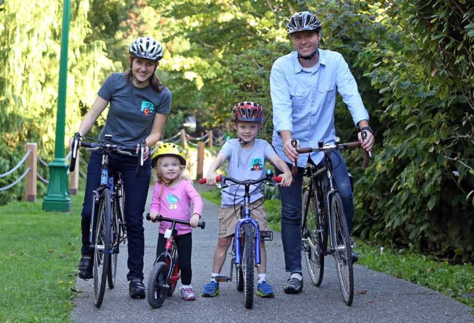
As a geographer who commutes 10 kilometres a day for work and loves to ride with her children, ages three and six, Trisalyn Nelson has three excellent reasons to champion bike safety.
As Lansdowne research chair of spatial sciences at the University of Victoria, she has helped create a way to do it: BikeMaps.org.
Launched this week, the mapping website allows cyclists to track danger spots, crashes, near misses and bike thefts, while letting other cyclists know about them.
“The great thing is that our technology maps globally, so you can map anywhere in the world,” said Nelson, who worked with a team of researchers in the UVic Geography SPAR Lab (spatial pattern and analysis research) on the site.
The pilot project in the capital region — funded partly with a Capital Regional District grant of $8,000 — attracted more than 800 website visitors, who reported 31 crashes or near misses, six thefts and 11 hazards in its first two days, she said.
Nelson hopes the mapping idea will take hold across Canada and beyond. One of the reasons mapping the perils is so crucial is that safety fears — real and perceived — are “the number one deterrent” to new cyclists, she said.
University of B.C. professor Kay Teschke has found that vehicle drivers suffer about 10 deaths per 100 million trips; cyclists about 14 and pedestrians about 15, compared with far lower rates for transit riders and far higher for motorcyclists.
Downhill grades, train tracks and road construction are associated with more accidents for cyclists.
“If we want to get people on the road, we need to make cycling safer. And unfortunately, we have to turn the lens onto risk in order to get the data that we need to make cycling safer,” Nelson said.
In 2010, ICBC recorded 190 crashes involving cyclists and vehicles in the capital region. By 2012, that number had spiked to 220 incidents — a rise of almost 16 per cent in just two years.
Only 30 to 40 per cent of cycling crash data is captured by traditional sources, Nelson said. ICBC and police data do not reflect bike accidents if there is no vehicle insurance claim or police response. If a cyclist broke an arm on a problematic curb, there wouldn’t be a record. Until now.
Both the CRD and City of Victoria want to know where to invest on cycling infrastructure, repairs, road improvements or changing traffic patterns. The bike mapping will help them do that, Nelson said.
Near-miss data is important because it’s not recorded elsewhere. So are safe zones, which can change depending on factors such as time of day or glare, Nelson said.
“We’re going to come up with really dynamic maps and eventually have a mobile map that would have a route finder.”
“The ability to capture near-miss incidents is exciting, as it will provide an early warning system for trouble spots and enable municipalities to proactively address potential safety concerns,” said Jennifer Black, manager of the CRD’s Active Transportation Program.
BikeMaps has the support of the Greater Victoria Cycling Coalition.
“I think it’s a great initiative,” said president Edward Pullman, adding that he hopes that the data collected will do a better job of highlighting “conflict corridors.”
Most cyclists ride wherever they’re going without incident, but a tool that tracks where the dangers lie has “real potential” for getting those concerns addressed as patterns or common issues keep turning up, said cycling coalition project manager Ray Straatsma.


