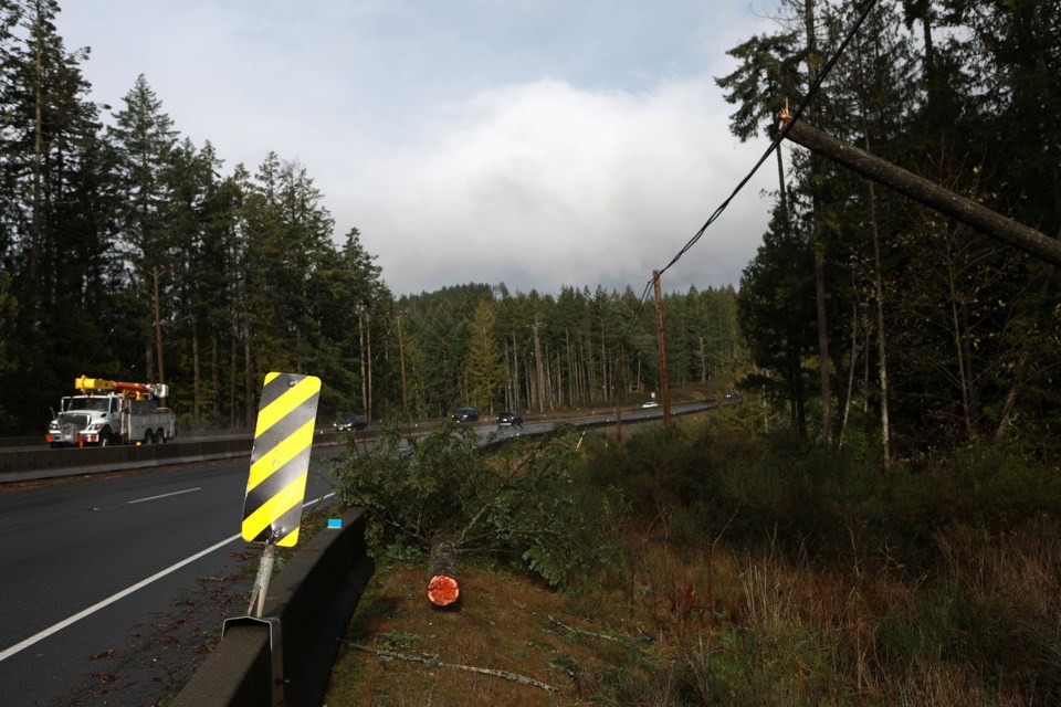
BC Hydro is warning customers in remote areas of Vancouver Island that they may be without power until late Saturday, as winds from another powerful storm hit the coast.
BC Ferries also says customers may be without service or have service delayed on several runs, including Horseshoe Bay to Departure Bay and Mayne Island to Galiano because of the second storm this week.
It says the cancellations or possible cancellations are to ensure the safety of customers and crew.
The latest in a series of fall storms has brought gusts over 100 km/h, but Environment Canada says it isn't as strong as the winds brought by the bomb cyclone that knocked out power to more than 300,000 properties earlier this week.
The forecaster has issued more than a dozen special weather statements and wind warnings for Vancouver Island and the B.C. south coast today due to the latest storm, with winds expected to peak in the afternoon.
Wind gusts of up to 104 km/h were recorded at Cathedral Point, on the B.C. central coast, while wind speeds reached 100 km/h in Howe Sound north of Vancouver.
BC Hydro says crews have reinstated power to most customers, but "small pockets" on Vancouver Island may still be blacked out until Saturday evening.
The utility's outage list shows more than 7,500 customers without power, with most them on Vancouver Island, which was hit hard by the bomb cyclone, a storm triggered by rapidly dropping atmospheric pressure off the west coast.
Environment Canada says the strongest gusts of up to 110 km/h will be felt along western Vancouver Island, before easing overnight or early Saturday.
"While this low is not as intense as the major storm that affected the area on Tuesday and Wednesday, and peak wind speeds are forecast to be generally lower, strong winds may still cause damage and disruptions, and slow down clean-up efforts," the weather office says.
B.C. storm watcher Ryan Voutilainen said November is “prime storm season” on the west coast of Canada.
He said the strongest storm he has ever experienced was in November of 2021 when a series of atmospheric rivers caused flooding, washouts and highway closures across southern B.C.
Voutilainen, who just returned to Vancouver from a trip to Washington state this week to watch the storm, said wind gusting up to 100 km/h is strong enough to shake a vehicle.
He said chasing windy events reminds him of the beauty and power of mother nature, and “just shows how small we are on this planet and how powerful it can be.”
Environment Canada has also issued separate snowfall warnings for the Coquihalla Summit from Hope to Merritt and on Highway 3 from Paulson Summit to Kootenay Pass.
The Coquihalla is expected to get about 15 cm of snow Friday, while the region on Highway 3 is expected to get up to 40 cm before tapering off Sunday afternoon.
Additional snowfall warnings have also been posted for Fernie and Morrissey — which is expected to get up to 30 cm of snow by Sunday — and for South Peace River, which is expected to get 15 cm overnight.
This report by The Canadian Press was first published Nov. 22, 2024.


