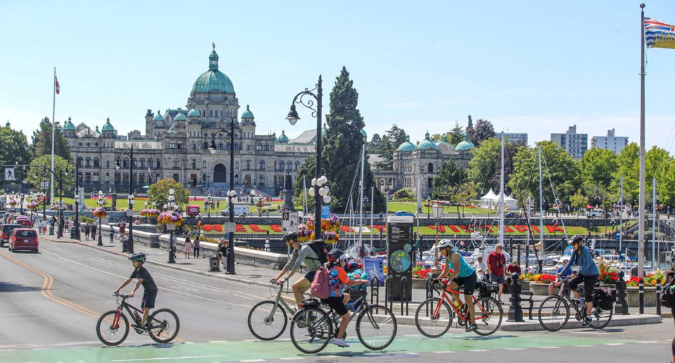
Plans for three new cycling routes in James Bay are moving ahead after Victoria councillors approved designs for Government, Montreal and Superior streets.
Staff recommended a mix of protected bike lanes, painted lanes, advisory bike lanes and a shared neighbourhood bikeway on Government Street, creating a connection to cycling routes on Humboldt and Dallas Road.
The design for Superior includes protected bike lanes from Government to Montreal Street, and advisory lanes — painted bike lanes on either side of one middle lane for two-way vehicle traffic — for the final block of the street. The design retains 71 of 144 parking spaces and includes an improved pedestrian crossing at Oswego Street and a new pedestrian crossing at Montreal Street.
Montreal Street, which has a speed limit of 30 km/h and recently had speed humps installed, requires minimal changes to be included in the city’s all ages and abilities cycling network. The planned route creates a connection from existing protected bike lanes on Dallas Road to the route on Superior and is close to schools, parks, playgrounds and daycares.
Councillors unanimously approved the designs Thursday.
Mayor Lisa Helps said the routes were thoughtfully designed and staff did a great job engaging the community, ensuring that on-street parking and loading zones were maintained in areas where people with disabilities live, for example.
Coun. Charlayne Thornton-Joe noted that there was little opposition to the routes chosen.
The designs include two blocks of advisory bike lanes, which are intended to work as neighbourhood streets do, but with space for cyclists prioritized and identified with paint. Drivers in both directions share the middle lane and pull into the bike lane, yielding to cyclists, when an oncoming car approaches.
The city first installed this type of lane last summer on two blocks of Humboldt Street between Douglas and Quadra streets, choosing the design to preserve on-street parking.
Coun. Jeremy Loveday asked staff about the success of the lanes on Humboldt.
Sarah Webb, the city’s manager of transportation planning and development, said staff have been monitoring and collecting data on Humboldt’s use. She said while the infrastructure is new and will confuse some people the first time they see the blocks, it has successfully reduced vehicle volumes.
“We’ve seen vehicle volumes reduce, bicycle volumes increase. And we’ve also seen our average speeds go down,” she said.
Councillors also voted to move forward to public consultation on the final two sections of the city’s all ages and abilities cycling network, on Gorge Road and Pandora Avenue, between Cook and Fort streets.


