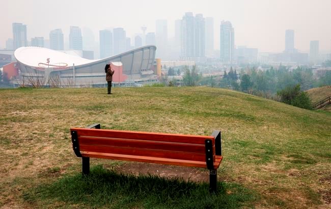
A summer forecast warns western wildfires will likely continue to be “a major concern," with higher-than-normal temperatures expected when the second fire season ramps up in July and peaks in August.
The Weather Network released predictions Wednesday that point to a cooler season overall in Canada, although there will likely be periods of hot and dry stretches broken up by unsettled weather in June, July and August.
While residents in the East can expect a relatively cooler summer, chief meteorologist Chris Scott said those out West will see warmer-than-normal temperatures, with near normal precipitation in British Columbia and Alberta.
British Columbia is typically dry during these months, even with normal rainfall, he added when reached by phone in Hamilton.
"This doesn't look like a bone dry summer in terms of precipitation but then it all depends on where the rains fall and when they come,” said Scott, adding there’s cautious optimism much-needed rain will arrive in the heart of summer.
"It's not the worst possible scenario when we look at this forecast. But it's also not wonderful news."
He said the biggest driver affecting the forecast is the expectation that global weather patterns are about to rapidly shift from three years of La Niña-driven weather to “a rather significant El Niño event.”
Scott said the scorching temperatures of recent summers – especially in the larger cities of southern Ontario and Quebec – will likely veer into relatively fresher climes as the opposing weather phenomena swap. Central Canada will likely see fewer days of 30 C temperatures than many recent summers.
El Niño occurs when surface waters in parts of the Pacific Ocean warm and push east, toward the west coast of the Americas, causing changes in the jet stream across the Pacific.
It's a reversal of what we've seen for the past three years with La Niña, which brought cold water to the coast of South America while warm water moved to the west.
"We like to think of it as the engine that drives the global weather patterns,” Scott said of the Pacific Ocean.
"It drives where the jet stream is, and that in turn drives where the warm and cool air is, where our storms form."
Scott said lingering effects from La Niña will include periods of hot weather, especially across Western Canada, but conditions elsewhere will be more changeable.
"It looks like a cooler summer for much of Eastern Canada. Western Canada, we still think we've got some warmer-than-normal weather in store, but not as scorching as we've seen some years,” said Scott.
“And that's because this El Nino is coming on stronger than initially expected and that in turn causes these shifts in the global weather patterns."
The forecast does not suggest a very active fire season for northern Manitoba and northern Ontario because of below-normal temperatures, although it predicts below-normal precipitation.
The Prairies can expect “a very warm summer,” especially in western parts, while cooler weather heads to eastern parts and drought and wildfire smoke will continue to be a concern.
Atlantic Canada will likely enjoy a seasonal summer with southern parts tipping into slightly warmer-than-normal temperatures and milder nights. A mix of dry weather and storms should bring near normal or above normal rainfall while hurricane season is expected to be less active, although there is risk of a significant tropical system or two.
The forecast said Northern Canada can expect warmer-than-normal temperatures in western regions, and a cooler summer in eastern parts.
It will also likely be dry across the region, especially west of Hudson Bay, with the biggest wildfire concern in the warmer western parts.
This report by The Canadian Press was first published May 31, 2023.
Cassandra Szklarski, The Canadian Press


