Batten down the hatches, it’s going to get windy and wet on many parts of Vancouver Island, including Greater Victoria, over the weekend.
Environment Canada has issued weather alerts for east, west and inland sections of the Island as two successive frontal systems create “atmospheric river” conditions flowing from the southwest off the Pacific, starting this morning through to Sunday.
The federal agency is predicting rainfall totals reaching 75 to 150 millimetres over the two days.
Strong southeasterly winds of 40 to 60 kilometres per hour near the water are forecast.
There is a concern that snow melt could add to runoff and swell streams and cause flooding. “There is a fair amount of uncertainty with the timing and location of these two systems, and how long the break will be between them, if any,” the weather statement said.
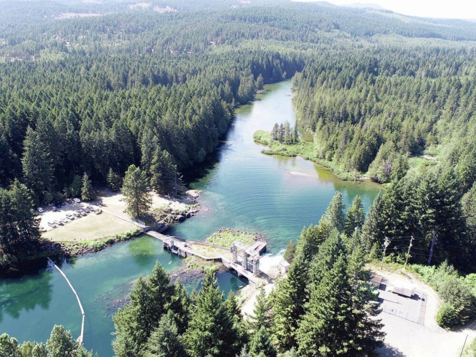
B.C. Hydro has warned the public about increased flows on the Puntledge River.
“We are issuing a public safety notice to please stay away from the Puntledge River beginning tonight through Monday,” spokesman Stephen Watson said Thursday. He said September and October have brought above-average precipitation and 100 mm of rain is forecast over the weekend in the watershed, and temperatures will be mild.
The utility’s hydrologists are forecasting a daily average of about 100 cubic metres per second entering the Comox Lake Reservoir over the weekend, so B.C. Hydro will more than double the water discharge from the Comox Dam down the Puntledge.
The Comox Lake Reservoir is at 133.75 metres and above seasonal for this time of year, said Watson, adding water begins to flow over the spillway section of the dam at 135.3 metres.
B.C. Hydro also considers tides in its operations.
This weekend tides will be typical, said Watson. He said the first of the seasonal king tides will be Nov. 7 to 10, with the largest tides happening Dec. 4 to 11 and Jan. 2 to 8.


