Update: The heavy rain has caused flooding in several areas of the Island, closing several roads and prompting the Cowichan Valley Regional District to declare a local state of emergency. Read the full story here.
Rain is expected in Greater Victoria over the next few days, but nothing like the amount that has been falling on much of the rest of Vancouver Island.
The volume of rain in many Island communities has been “almost biblical,” said Environment Canada meteorologist Armel Castellan.
Even in the Victoria area, however, January has been a very wet month. Castellan said it will be one of the five rainiest Januarys on record.
The preliminary total for the month was 247 millimetres of rain as of Thursday morning, well above the norm of 143 mm. The record of 359 mm was set in 1953.
Heavy local rains led to stormwater and sewage overflows in two areas on Friday morning. Affected were Fraser Street to Victoria View Road, including Macaulay Point in Esquimalt, and Trafalgar Park to Radcliffe Lane, including McNeill Bay in Oak Bay.
The Lochside Regional Trail was closed Friday evening between McKenzie Avenue and Quadra Street after rain made the ground unstable.
Castellan said he wouldn’t be surprised if more than 300 millimetres of rain fell on west coast communities such as Port Renfrew, Tofino and Ucluelet in the 36-hour period from Thursday afternoon to late Friday.
Lake Cowichan should also have a fair amount of rain, Castellan said. On the east Island, Nanoose Bay to Fanny Bay on the east Island should see the most precipitation.
He said Mount Washington was due for about 80 mm of rain Friday, but skiers should note that a snow pack in the middle of winter can handle a lot of rain. “It can absorb it and not wash away.”
The volume of rain in certain spots has been remarkable, he said, with the San Juan forestry station near the Juan de Fuca Trail receiving 14.4 mm per hour Friday, and Kennedy Lake 13.8 mm.
“These are huge numbers,” Castellan said.
Much more rain was expected through the overnight hours.
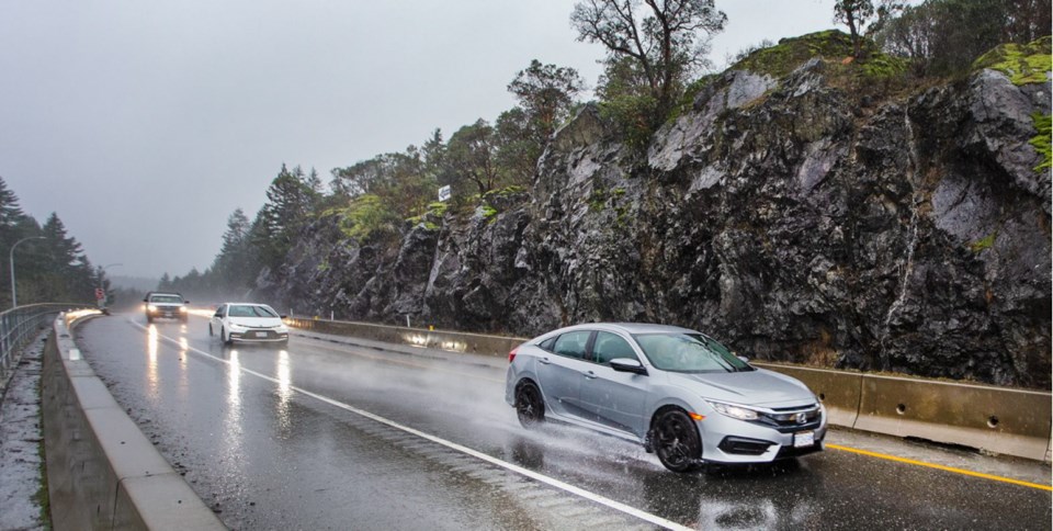
Environment Canada warned Friday of possible flash floods and water pooling on roadways for the both the west and east Island, as well as localized flooding in low-lying areas.
Winds of up to 80 kilometres an hour were also expected on the west Island into Friday night.
Today is expected to be wet and cooler during the day — 8 C compared with Friday’s 14 C. Temperatures are forecast to continue to fall over the following few days, which could lead to flurries overnight Monday.
“The Malahat could see a couple of centimetres, maybe five in a worst-case scenario,” Castellan said.
But don’t expect a repeat of January’s snowfall, he said.
“By Tuesday, we’re going to go back to a bit of a rainy pattern, but mostly showers.”
— With a file from Roxanne Egan-Elliott


