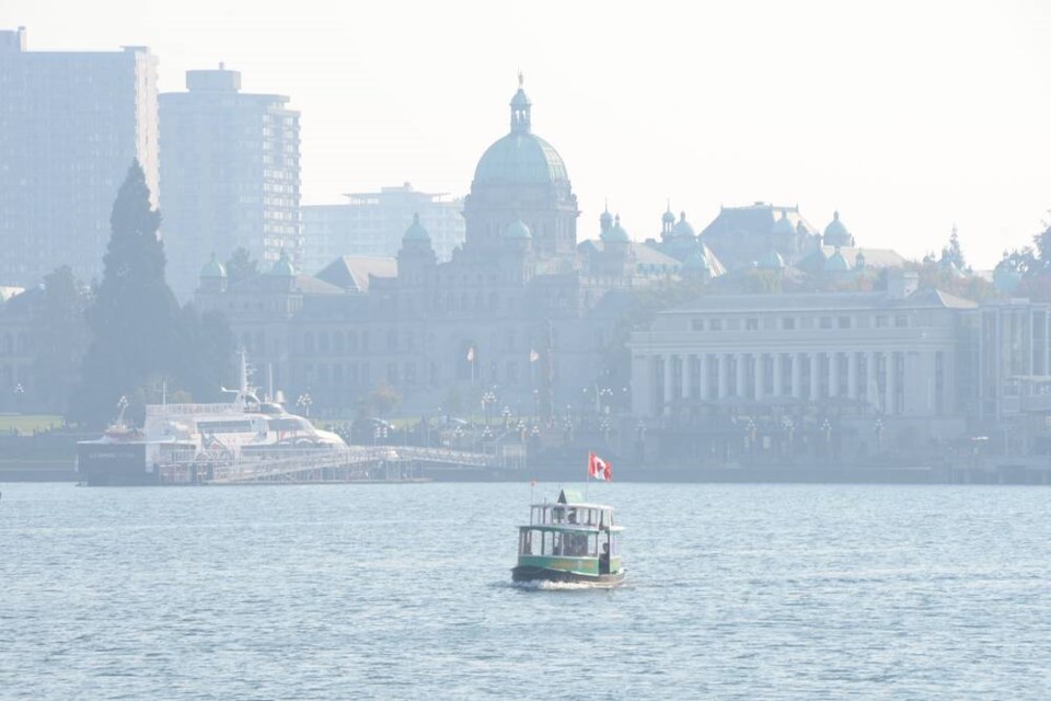
The haze blanketing much of Vancouver Island is expected to stick around for a little while longer.
A smoky skies bulletin, first issued Sunday by Environment Canada and renewed Monday around noon, said wildfire smoke would like affect inland, north and east Vancouver Island, Greater Victoria and the Southern Gulf Islands for the next 24 to 48 hours.
The smoke, which is coming from the mainland, has led to poor air quality in the region.
Environment Canada’s air quality health index on Sunday afternoon indicated a 7 — a high-risk rating — for Victoria and Saanich, a moderate risk for the West Shore and Duncan and low risk for Nanaimo and Comox Valley. By Monday, the values were 4 (moderate) except for in areas with smoke, where they were 7.
Those in high-risk groups such as older adults, pregnant women and infants, along with those who have pre-existing health conditions or respiratory infections like COVID-19 are more likely to experience health impacts from the smoke.
While several wildfires are burning on the Island — including a handful near Port Alberni and two near Duncan — the B.C. Wildfire Service said the smoke is coming from a cluster of large fires near the Canada-U.S. border.
“It’s a combo of several fires, some on the Canadian side of the border and some along the border in Washington state,” said Jade Richardson, coastal fire information officer. “The Heather Lake wildfire is one we’re actively working on that is contributing a lot to the smoke.”
The Heather Lake fire is southeast of Hope in E.C. Manning Provincial Park.
Richardson said an outflow wind pattern is pushing the smoke from the mainland across the water and toward the Island, making the smoke particularly bad for Greater Victoria and the Southern Gulf Islands.
She said it’s unusual but not unprecedented to have a wildfire season run this late into the fall.
“As the days are getting shorter, there’s less radiant heat that builds throughout the day, which is helpful when you’re fighting the fire,” she said. “We’re looking forward to a season ending rainfall at some point.”
Li noted that the coming week will likely remain dry and warm until Friday, when some rain is expected in the region. It could be hazy on and off until then.
“Looking at our long range, going through end of October and early November, we’re still looking at above seasonal temperatures,” she said. “But there should be more precipitation coming in.”
Several B.C. cities had the warmest temperatures in Canada on the weekend as summer-like weather persists across most of the province.
Daily maximum temperature records were set in 25 B.C. communities on Sunday, including in Port Alberni, the provincial hot spot at 26.3 C, where a 115-year-old record was shattered by three degrees.
The weather office said other records for the day were set along the south, central and north coasts, and through the central Interior and southeastern B.C.
Many regions of the province have had no rain in October and no significant precipitation since early July, prompting severe drought conditions, but forecasters are calling for showers and possible snow flurries in Fort Nelson by Friday.
— With a file from The Canadian Press


