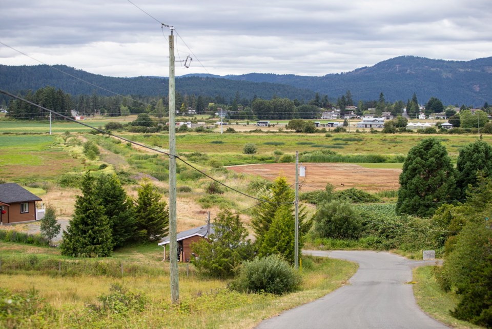
A new drainage system at Maber Flats has been designed to allow neighbouring farmers to grow crops on what has been waterlogged properties bordering a wetland for birds and other wildlife, and important to First Nations.
The District of Central Saanich is aiming to balance the interests of various stakeholders and has issued a request for quotes to install the system on the 11.3 hectares (27.9 acres) it owns at Maber Flats. During winter, lower-level land within West Saanich, Wallace, Seabrook and Keating Cross roads is under water.
The entire Maber Flats area covers 132 hectares, or more than 300 acres. Central Saanich’s site collects water that discharges into Graham Creek.
This drainage plan has been years in the making as the municipality and other land users have wrestled with the best approach. Councillors voted in late last month to put the project to tender.
“We want to get the ball rolling and staff have had this ready for some time,” Coun. Carl Jensen told fellow councillors.
The council also approved a motion to acknowledge the importance of the area to First Nations and their traditional uses.
Plans call for drainage improvements to be installed this year.
New outfall-control structures will be installed on the municipality’s land.
During the winter, a culvert to control water flow will allow water to be stored on Central Saanich’s land. By doing so, a wetland habitat will be retained and downstream water flows will be reduced, a staff report said. Water levels will be able to support waterfowl, shore birds and other bird species, the report said.
In the spring and summer growing months, the culvert will lead to better drainage and, therefore, minimize surface water.
“A primary goal of this project is to improve Maber Flats for agricultural and pasture purposes,” the staff report said.
Council has set aside $175,000 this year to cover the costs of the work. The request for quotes closes July 18.
Central Saanich is taking a phased approach. In future years, more culverts and other drainage improvements could be added, staff said.
Continuing discussions with stakeholders are planned, as is monitoring and collecting data on groundwater levels and stormwater flows.
Staff recommended carrying out the project in phases because “there are several variables that remain uncertain, such as rainfall, groundwater movement and impacts to adjacent properties.”
Silver Rill Corn farmer Clay Fox, whose family owns about 10 hectares at 7235 Wallace Dr., said they have not been able to farm four of those hectares because water has drained onto their property from district land.
He is optimistic that the drainage plan will allow farming on land that was previously too wet to use.
“We are anticipating in 2020, that we may actually be able to put crops in there.”
But it is important that the municipality keep the creek clear from blockages, so nearby land isn’t affected, he said. Beavers have set up in the creek in the past, Fox said.


